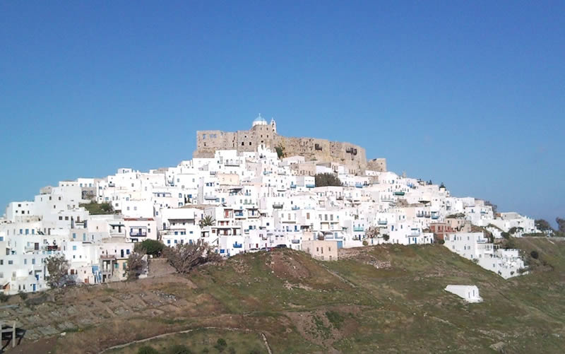
Chora (= the main city / the capital )
Chora was the only settlement of Astypalaea until the 19th century. The other settlements that are spread around the island now-days were founded in the previously arid and uncultivated areas. The largest among these are Livadi and Analypsi or Maltezana and were established during the Italian occupation (1912-1943). But of course most of the populace is still concentrated in Chora.
It is built on a peninsula with two wonderful bays on its sides. As we look towards the sea the bay on our left is Pera Yalos and the one on the right is Livadi. The rugged coastlines of Astypalaea give us an idea of the broken terrain that dominates the entire island. The island on the map resembles a butterfly with its wings open.
A narrow strip of land that is just 10 metres wide and is known as the “steno” (=narrow strait) located approximately in the middle of the island connects the two sides of Astypalaea; the eastern side of “Mesa Nisi” (=inner island) and the west side of “Exo Nisi” (=outer island).


